Startpage » Collect + Preserve » Collections » Map Collection
Collections
Map Collection
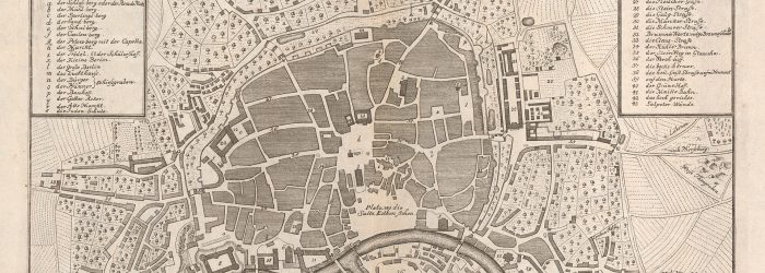
The map collection of the University and State Library of Saxony-Anhalt is one of the ten largest collections of its kind in Germany.
Contributing to the responsibilities of the ULB, maps of Central Germany are collected as extensively as possible. Another focus lies on topographic maps of German territories as well as other European countries as well as maps from the Near East/North Africa.
The holdings comprise approx:
- 100 000 map sheets
- 18 000 old maps published before 1850
- 850 global, national and thematic atlases
- 250 historical wall maps for teaching purposes
- 2 000 volumes of cartographic literature
- 1 000 digitised maps (Share_it)
The basis of the map collection dates back to the founding years of the library, at the end of the 17th century. The base for the collection was the estate of Prince Ludwig von Württemberg (1661-1698), which contained not only books and manuscripts but also maps and atlases. The collection grew considerably thanks to further donations from Daniel Ludolf von Danckelmann (1648-1709), the war councellor and canon Schulz zu Berlin and Johann-August von Ponickau (1718-1802), although part of the Ponickau donation was unfortunately lost in the Second World War. The estate of Gustav August Heinrich Freiherr von Lamotte (1752-1798) again further contributed to the expansion. From 1876 onwards, the collection was systematically increased thanks to extensive acquisition funds, and after World War II thousands of map works from dissolved private and public authority libraries added more material to the collection. Between 2003 and 2006, the ULB received further donations from various institutes of the Martin Luther University.
The items are researchable in Ha:Lit and OPAC. Maps that have not yet been indexed, especially from the collection of old maps published before 1850, are constantly being added.
The digital map collection comprises more than 1000 maps and views with the regional focus being on Central Germany and the Middle East. All digitised maps can be accessed via the data repository Share_it.


